
In Context
- Recently, three earthquakes measuring 7.8, 7.6, and 6.0 magnitude on the Richter scale hit wide swaths of Turkey and neighbouring Syria.
More about the news
- Epicentre:
- The epicentre was about 26 km east of the Turkish city of Nurdagi at a depth of about 18 km on the East Anatolian Fault.
- The quake radiated towards the northeast, bringing devastation to central Turkey and Syria.
- Damage:
- This is the strongest earthquake to shake the region in more than 100 years.
- It has killed at least 3,800 people across Turkey and Syria.
- Vulnerability of the region:
- The area has many buildings constructed of brittle concrete (which makes them prone to cracking, spalling, loss of strength, or steel corrosion), making them “extremely vulnerable to earthquake shaking.
|
Earthquake
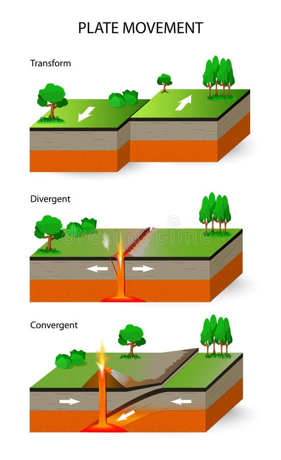
Plate Tectonic Theory/Plate Tectonic
|
Reasons of Turkey’s Earthquakes
- Turkey’s proneness to earthquakes:
- Turkey is frequently shaken by earthquakes.
- In 2020 itself, it recorded almost 33,000 earthquakes in the region, according to Disaster and Emergency Management Authority (AFAD).
- Out of these, 332 earthquakes were of magnitudes 4.0 and higher.
- Turkey’s proneness to earthquakes comes from its tectonic location.
- According to one estimate, almost 95% of the country’s land mass is prone to earthquake.
- About a third of the country is at high risk, including the areas around the major cities of Istanbul and Izmir and the region of East Anatolia.
- Turkey is frequently shaken by earthquakes.
- Significance of location:
- Anatolian tectonic plate:
- Turkey is located on the Anatolian tectonic plate, which is wedged between the Eurasian and African plates.
- On the north side, the minor Arabian plate further restricts movement.
- North Anatolian fault (NAF) line:
- One fault line — the North Anatolian fault (NAF) line, the meeting point of the Eurasian and Anatolian tectonic plates — is known to be “particularly devastating”.
- The NAF, one of the best-understood fault systems in the world, stretches from the south of Istanbul to northeastern Turkey, and has caused catastrophic earthquakes in the past.
- East Anatolian fault line:
- Then there is the East Anatolian fault line, the tectonic boundary between the Anatolian Plate and the northward-moving Arabian Plate.
- It runs 650 kilometers from eastern Turkey and into the Mediterranean.
- Aegean Sea Plate:
- In addition to this, the Aegean Sea Plate, located in the eastern Mediterranean Sea under southern Greece and western Turkey, is also a source of seismic activity in the region.
- Anatolian tectonic plate:

|
Damage to the ancient historical sites
|
Source: TH
Previous article
Muons
Next article
Nisar Mission